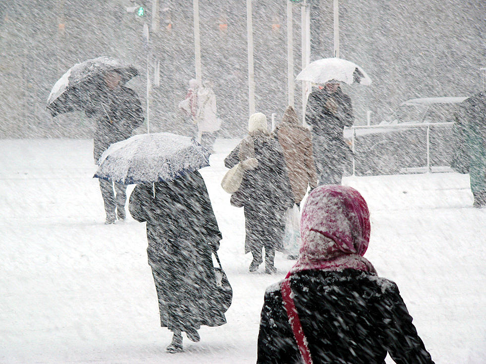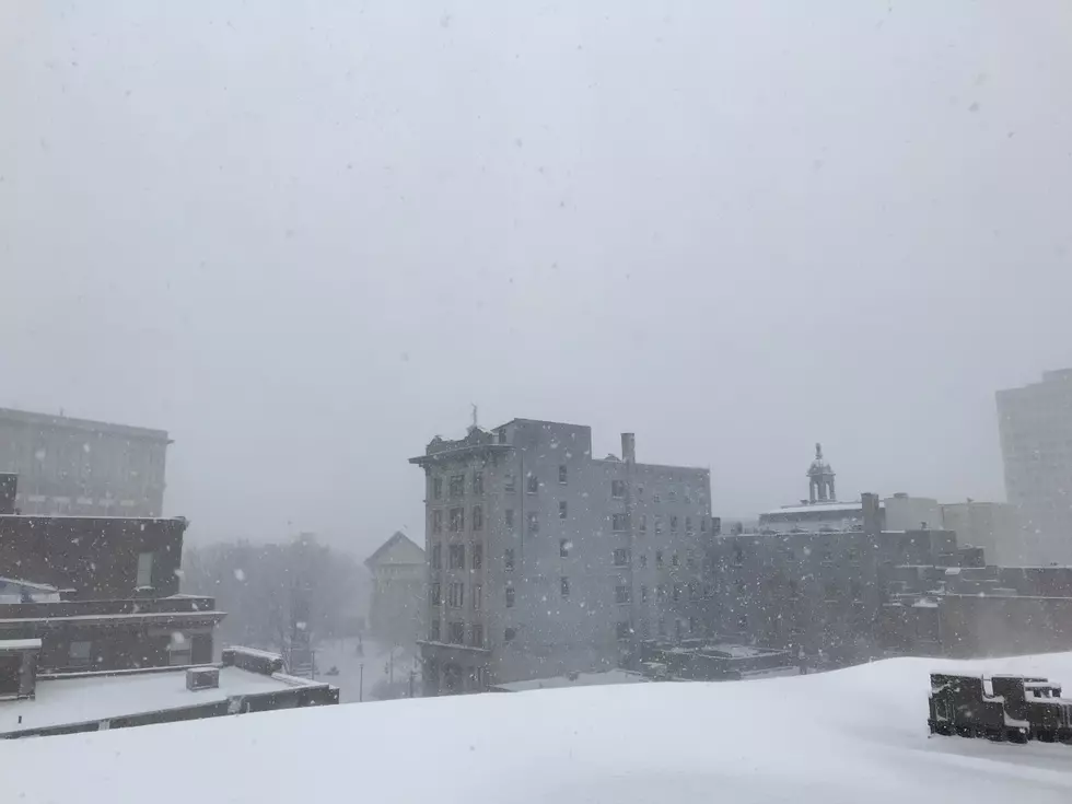
Slippery, Snowy and Cold in Twin Tiers
Much of the Twin Tiers is shivering under below-zero wind chills as winds kick up a small accumulation of snow from January 28 through early January 29.
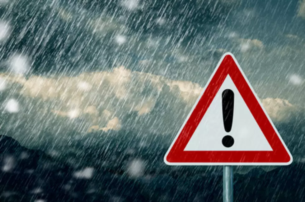
For the morning hours on Friday, the National Weather Service in Binghamton had issued a Wind Chill Advisory and a Winter Weather Advisory for parts of the Southern Tier and Central New York until noon but the entire region was expected wind chills to remain in the minus single-digits through at least during the day Saturday, January 30 before winds were expected to die down.
In addition to blowing snow across roadways, causing for sudden, slick conditions, the swirling flakes greatly reduce visibility.

With winds gusting over 20 to 30 miles per hour at times, the bitterly cold wind chill values make for a danger of frost bite within less 30 minutes.
Residents are advised to dress in layers, cover heads, noses, ears and hands and limit time outdoors. Motorists should plan extra time for travel until conditions improve.
The next weather event forecasters are keeping an eye on is a storm that could move into the area in the afternoon or evening January 31 and continue through Ground Hog Day, February 2. At this time, the track of the storm and potential accumulating snowfall amounts are uncertain. Stay tuned to News Radio 1290, WNBF for the latest forecasts and other weather information or check weather on the website and by mobile app any time.
How to Make a Soda Geyser
More From 99.1 The Whale