Twin Tiers Temperature Swing Anticipated, Snow Showers Linger
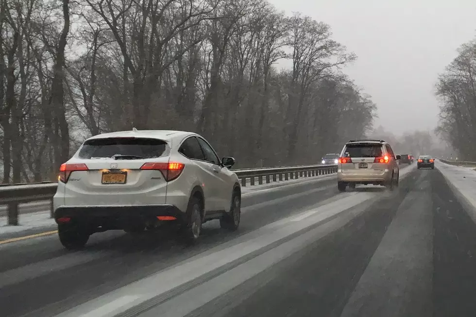
Scattered snow showers continue to be an issue for the Twin Tiers on March 29 with the National Weather Service in Binghamton cautioning of visibility in some areas reduced to under a mile an hour at times.
The Twin Tiers will be holding on to bitterly cold temperatures into the overnight March 29-30 before rain and a spike in the mercury comes on March 31.
Monday, Binghamton recorded its coldest March 28 on record with temperatures stuck in the teens. The official high temperature for the day was only 18.
The average high for this time of year should be into the low 40s.
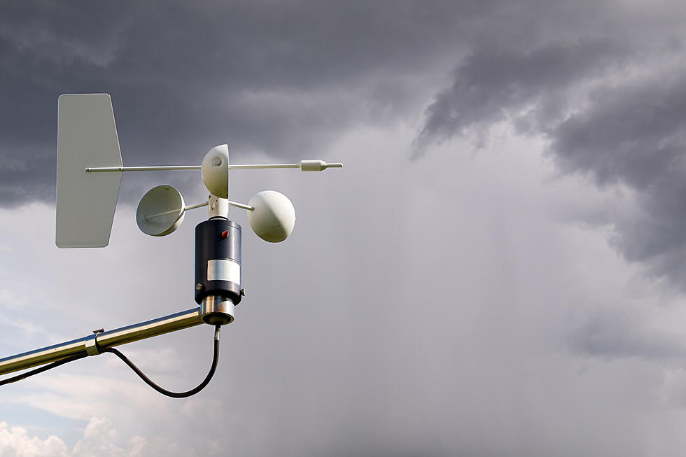
The high temperatures Tuesday were expected to be a little closer to the average high, getting into the 30s after another very cold start in the teens. The Wind Chill Index early March 29 was coming in at around zero or slightly below zero depending on the wind and location.

The high Thursday is forecast to be in the 60s. In a Hazardous Weather Statement issued by the National Weather Service in Binghamton yesterday afternoon, meteorologists advise the system moving through on Thursday could bring some strong storms in addition to unseasonably warm temperatures. Thunderstorms on Thursday could bring a return to strong, gusty winds to the Twin Tiers.
Celebrity Doppelgängers
QUIZ: Where in the Southern Tier?
Gallery Credit: Olivia Sturgell
WATCH OUT: These are the deadliest animals in the world
More From 99.1 The Whale


![Ten Years Ago: Do You Remember These Scenes From The Flood Of 2011? [GALLERY]](http://townsquare.media/site/497/files/2021/07/attachment-2011-Looking-Down-South-Washington-Street.jpg?w=980&q=75)

![16 Ways to Help Calm Your Dog During Fireworks [GALLERY]](http://townsquare.media/site/498/files/2021/06/attachment-alicia-jones-13Nt3KvEQ3w-unsplash.jpg?w=980&q=75)

![Branch Causes a Boom In Greene [VIDEO]](http://townsquare.media/site/497/files/2020/07/Greene-Power-Line-Video.jpg?w=980&q=75)