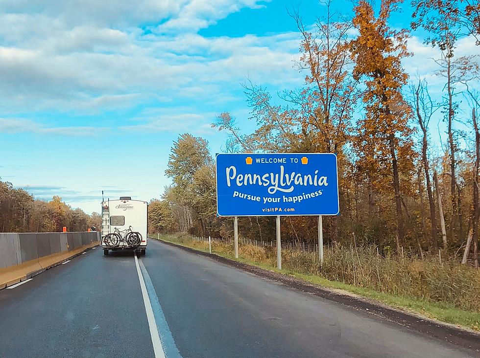
Broome & Tioga Added Into Ida Flood Watch Area
Broome and Tioga Counties are now added into Flash Flood Watch areas by the National Weather Service in Binghamton.
Authorities say what is left of Hurricane Ida will be soaking the region starting midday September 1 and continuing overnight. That could result in some problems in flood-prone areas and locations of steep terrain.
Flood Watches for Delaware, Susquehanna, Wayne and Bradford Counties are in effect until 2 p.m. September 2. The Watches for Broome and Tioga Counties are to expire at 11 a.m. September2.
The latest statement from the National Weather Service on September 1 said the tropical moisture is interacting with a stalled out frontal boundary, bringing bands of heavy rainfall into parts of the Twin Tiers.
NOAA said the heaviest rain was expected across the Wyoming Valley and into the southern Catskills and Poconos. With that said, forecasters add two to three inches of rainfall with localized amounts over over four inches are possible across the Northern Tier and into Delaware County in New York.
The heaviest period of rain was expected September 1 in the afternoon and overnight.

The several inches of rain could result in the topping of the banks of small streams as well as rises in the main-stem rivers. A large concern is for flash flooding and pooling of water in poor drainage areas.
Motorists are especially advised to be aware of possible rapid changes in conditions that could include rain-slicked roads, standing water that can cause hydroplaning and reduced visibility.
Meanwhile, the Pennsylvania Department of Transportation had planned a number of lane closures along Interstate 81 in Susquehanna, Lackawanna and Luzerne Counties this week. Shortly after issuing an advisory about the planned bridge inspections August 31, PennDOT put out another advisory postponing the work in anticipation of the arrival of rain from Ida.
LOOK: The most expensive weather and climate disasters in recent decades
25 Legendary Rock Albums With No Weak Songs
More From 99.1 The Whale