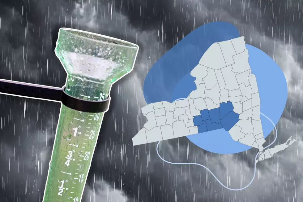
Heavy Rain and Hail Could Hit Twin Tiers
The National Weather Service in Binghamton is advising residents that some strong storms could be popping up July 11.

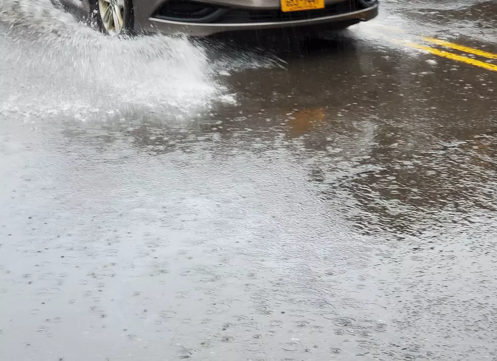
A Hazardous Weather Statement from NOAA says, “Showers and thunderstorms will move through the area today during the afternoon and evening hours. There is a potential for damaging winds, large hail and locally heavy rainfall. There is also a chance for localized flash flooding where heavy rain persists the longest.”
Precipitation totals were being projected to fall between a quarter and a half inch during the afternoon and again overnight.
Once the cold front moves through, temperatures are expected to fall back into the low 80s with a drop in humidity and a reduction in the chance of more precipitation.
The National Weather Service is currently calling for a dry weekend with highs in the 80s and overnight lows in the upper 50s and low 60s.
More From 99.1 The Whale