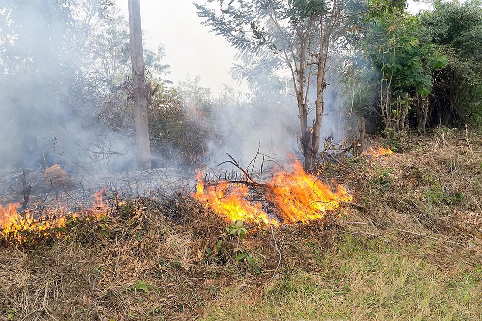
Fire Weather Watch in Effect for Twin Tiers Region
A fire weather watch is in effect for much of the Twin Tiers Tier, but what is a fire weather watch and why is it so important to be aware of it?

A fire weather watch is issued by the National Weather Service when conditions are favorable for rapid fire spread.
While there are several conditions the National Weather Service looks at to determine whether or not to issue a fire weather watch, the biggest is when there are strong winds of at least 20 to 25 mph per hour with gusts over 35 mph and low relative humidity.
When a fire weather watch has been issued, residents are asked to be extremely cautious when handling anything that could be a potential ignition source. This can range from machinery to cigarettes to matches and everything in between.
SEE ALSO: Weather Watch vs. Weather Warning: What’s the Difference?
The current fire weather watch impacts Northeast Pennsylvania from 11:00 a.m. to 8:00 p.m. on Tuesday, June 6.
Additionally, the New York State Department of Environmental Conservation has issued an air quality health advisory for fine particles until midnight tonight. What this means is that people who are sensitive to high levels of pollutants should consider limiting the amount of time they spend outdoors.
The National Weather Service says that we should expect widespread haze and patchy smoke today. It also notes that burning of any kind is strongly discouraged as "any fires that develop will likely spread rapidly."


