
Weekend Snow Cleanup While Twin Tiers Looks at Next Storm System
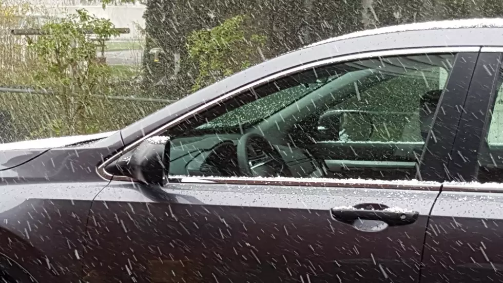
Area Emergency Services officials are reporting mainly clear but wet roads remaining from the up to three inches of snow that fell on the region through the day on Sunday, December 11.
Authorities reported Monday morning that there had been a few minor crashes reported, mainly in the evening hours, but no serious injuries.
Some schools in outlying areas overnight December 11 decided to give road crews a little extra time to get conditions in shape for the school buses with only a few being added to the list on Monday morning, December 12.
Two-hour delays were called in overnight for Guilbertsville/Mount Upton and early in the morning for Hancock Central Schools in New York State.
In Pennsylvania, Elk Lake and Susquehanna County Career and Technology Center, Montrose Area Schools, Susquehanna Community Schools and Wayne Highlands all opted for a delay in opening of two hours. You can always find an updated list of school closings and delays on our website.

The Pennsylvania Department of Transportation began preparing roads in the Commonwealth on Saturday afternoon in anticipation of several inches of accumulating snow on Sunday. PennDOT was pretreating the interstates in District 4, including Susquehanna and Wayne Counties but still ended up reducing the speed limits to 45 miles per hour and restricting commercial vehicle traffic on I-81 through Sunday. PennDOT announced the speed limits had been restored and restrictions lifted at 9:50 Sunday night.

While the region got a taste of winter weather and a tease of the possibility of a white Christmas over the weekend, the forecasters are keeping an eye on what could be a more problematic system later in the week.
The National Weather Service in Binghamton on Sunday afternoon had a Hazardous Weather Outlook posted that said: “A more significant winter storm is possible Thursday and Friday with the potential for an extended period of snow, possibly mixed with rain in the valleys. With this still being several days away, specific details are uncertain. Details will be fine-tuned as the upcoming week progresses.”
That Hazardous Weather Outlook was no longer posted for Binghamton at weather.gov as of 5:50 a.m. The extended forecast, however, was still calling for a likelihood of snow and mixed precipitation in the region starting on Thursday, December 15 and continuing through Saturday, December 17.
KEEP READING: Get answers to 51 of the most frequently asked weather questions...
LOOK: See what Christmas was like the year you were born
More From 99.1 The Whale
