Broome Plans for Recreational River Use
Broome County’s Department of Planning is working on updating the Intermunicipal Waterfront Public Access Plan that was put together in 2011 and includes the development of a Blueway Plan.
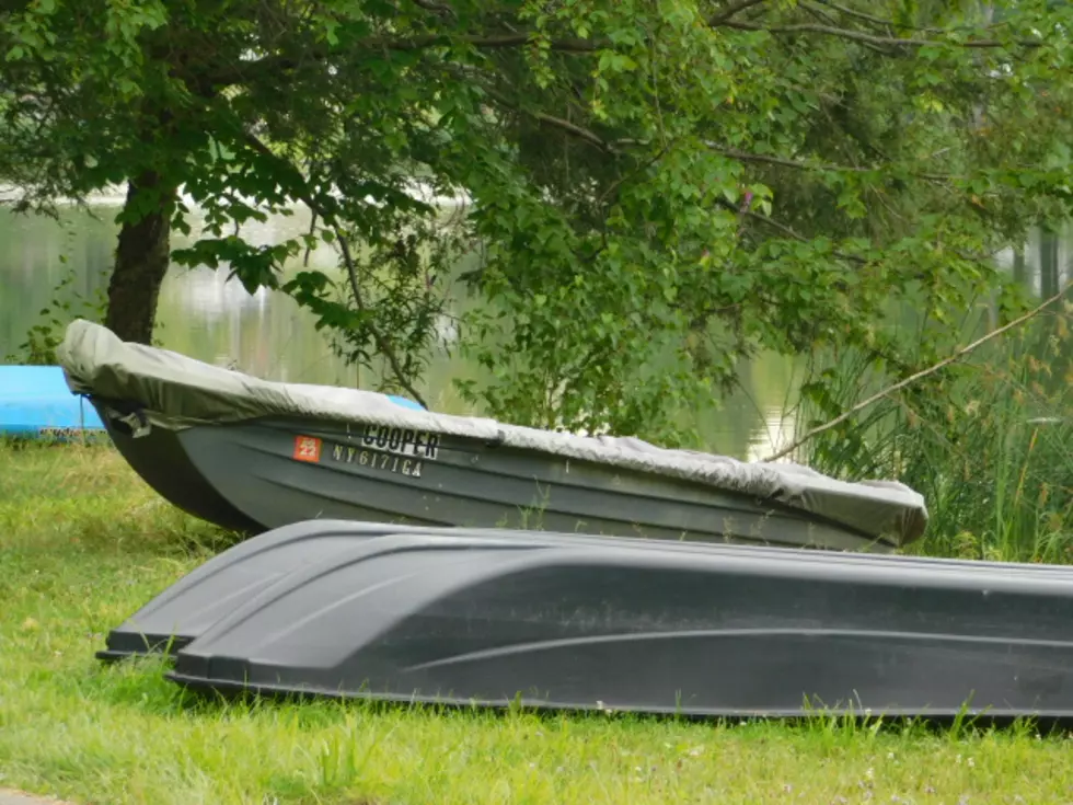
The idea is to improve public access and awareness of the rivers that run through Broome County, mapping and assessing the current conditions of the waterfront as well as exploring new opportunities to use the rivers.
In 2021, Broome County organized a series of public workshops to hear from the community about what residents would like to see on and around the waterways in the future.
The efforts to evaluate recreational and other uses is a collaborative effort between the county and its municipal partners.
Broome now is launching a survey to get pubic input on waterway use in the county. The survey will collect information about how people use the river and what materials are most useful for their recreational experiences on the water. In addition, those filling out the survey will have a chance to review some of the projects that have already been proposed and provide additional feedback for the Waterfront Public Access Plan.

The survey can be found at www.broomewaterfront.com. Officials with the Broome County Planning Department say the survey only takes a few minutes to complete. Questions include: what waterways have you used for recreation, how often, how long your waterway recreation normally lasts and includes a map of river hazards, asking if there are any additional hazards people should know about. Residents can also check off what amenities like boat launches and equipment rental they use or would like to see.
The project is being supported financially and with technical services provided by the New York State Department of State Local Waterfront Revitalization Program.